
Global Site
Breadcrumb navigation


With LOTUSat-1 SAR satellite, Vietnam gets an eye in the sky on natural disasters

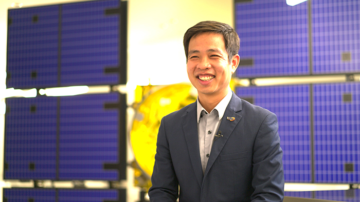
Vice Director General
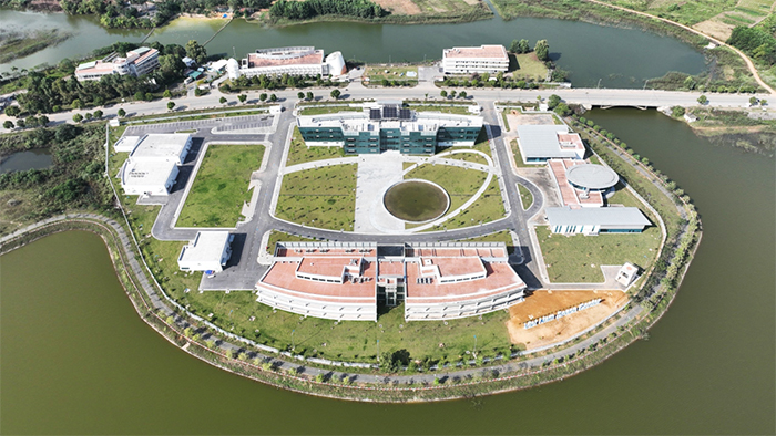
Vietnam National Space Center (VNSC),
Vietnam Academy of Science and Technology (VAST)
Every year, Vietnam is affected by tropical cyclones that can endanger lives and property, not to mention agricultural areas and other resources. As climate change is supercharging storms and intensifying their impact, the country wants to improve its ability to monitor and understand these events, part of a larger array of threats including landslides, forest fires and floods. To accomplish this, Vietnam plans to deploy an Earth-observation satellite LOTUSat-1 built by NEC with a high-tech sensor: Synthetic Aperture Radar (SAR), which can better track under all weather, day and night.
NEC sat down with Dr. Le Xuan Huy, Vice Director General of the Vietnam National Space Center, to discuss Vietnam’s decision to launch LOTUSat-1 and why it chose to partner with NEC Corporation.
An eye in the sky watching for natural disasters
Vietnam formulated its space development strategy in 2006 and launched its first satellite, the communications satellite VINASAT-1, two years later. In 2011, Vietnam inaugurated the Vietnam National Satellite Center under the Vietnam Academy of Science and Technology (VAST) and launched another communications satellite, VINASAT-2. The following year, the Earth-observation satellite VNREDSat-1 began a mission to monitor the effects of climate change and mitigate natural disasters. The data has been used both domestically and in international scientific collaboration.
In 2017, the Vietnam National Satellite Center was renamed the Vietnam National Space Center (VNSC). So far, Vietnam has launched six satellites, with its two communications satellites providing support for TV, internet and mobile phone signals.

Like VNREDSat-1, the LOTUSat-1 satellite is designed help Vietnam deal with natural disasters and climate change, but on a greater scale with different types of sensor. The 600-kilogram LOTUSat-1 is being built by NEC Corporation and will be operated by VNSC as the county’s first satellite equipped with SAR, an important milestone in developing strategies to defend against climate risks. Unlike optical satellites, SAR satellites bounce microwaves off the surface of the Earth to create high-resolution imagery. Working day and night, they can see through cloud and other weather phenomena, making them critical tools in tracking weather systems.
“Vietnam is heavily affected by climate change, and every year we lose about 1 to 1.5 percent of gross domestic product because of natural disasters,” said Dr. Le Xuan Huy, VNSC Vice Director General. “Cloud cover is present around 80 percent of these cases, so that’s why we believe SAR technologies can act as a countermeasure to reduce the loss of natural resources.”
A partnership for the final frontier
LOTUSat-1 is based on NEC’s ASNARO-2 small radar satellite launched in 2018. NEC will also provide a satellite control center, 9.3-meter parabolic antenna and sophisticated ground infrastructure such as a Mission Data Utilization Center with a software system based on its GroundNEXTAR package.
LOTUSat-1 is Japan’s first satellite project involving Official Development Assistance (ODA) funds from the Japan International Cooperation Agency (JICA) under its Special Terms for Economic Partnership (STEP) program. Under the project, dozens of engineers and managers from Vietnam have undergone training in Japan to learn about satellite development and operations in order to enhance the monitoring and mitigation of natural disasters.
As part of this collaborative program, 36 VNSC engineers studied at five major Japanese universities and developed MicroDragon, a 50-kilogram Earth-observation satellite that was launched in 2019 from the Uchinoura Space Center in Kagoshima, Japan. Now, Vietnam is looking to repeat that success with LOTUSat-1.

“The designed lifetime of the satellite in orbit is only five years, so we must learn how to use it effectively,” says Dr. Huy. “That’s not an easy task, and it’s one for which we want to continue accumulating knowhow from NEC. We must also share the satellite data with people in the SAR community to get the most out of it.”
VNSC decided to choose a Japanese partner for this important mission in part because of their countries’ history of cooperation in science, says Dr. Huy, noting that VAST and the Japan Aerospace Exploration Agency (JAXA) have been cooperating since 2006 through the establishment of establish Sentinel-Asia, a satellite-based disaster management system.
“In 2023, Vietnam and Japan held a ceremony to mark 50 years of friendship and cooperation,” says Dr. Huy. “Both governments support each other, and that’s the main reason that Vietnam is the first country to receive this high-tech transfer from Japan, and one way is through LOTUSat-1. Besides this project we have had strong cooperative ties with JAXA on space development for 17 years.”
For such a state-of-the-art device it’s not surprising that the name “LOTUS” was chosen. The aquatic plant is Vietnam’s national flower and a symbol of purity and natural beauty that is beloved by Vietnamese. The lotus is known for its resilience and longevity, being able to thrive in poor growing conditions. Dr. Huy and colleagues have similar hopes for Vietnam’s latest satellite, currently scheduled to launch in 2024. A follow-up satellite, LOTUSat-2, is also planned.
“We believe radar SAR tech will be more effective to support us in times of natural disasters,” says Dr. Huy. “LOTUSat-1 is the first SAR satellite for Vietnam and will be able to work day and night through cloud cover. We really hope the data from LOTUSat-1 can contribute to Vietnam’s sustainable development.”
Related Links
- Aiming to Develop a Global Space Business
- The 'LOTUSat-1' Project—NEC's Interdepartmental Team's First Satellite System Export to Elevate Vietnam's Space Capabilities
- NEC to provide Vietnam with "LOTUSat-1" Earth observation satellite system
- ASNARO-2: Reaching for the stars
- VIETNAM NATIONAL SPACE CENTER
